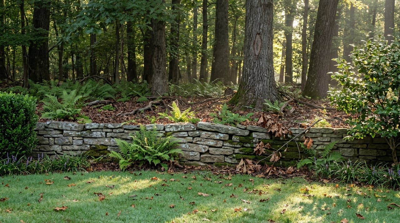
The gravel path off Paper Mill Road doesn't announce itself. No sign says national park, no gate marks a transition from suburb to wilderness. One minute you're on a residential street in Sibley Forest, the next you're descending through hardwood forest toward a creek that's been running the same course since before Cobb County existed. Most people who live within walking distance have made this trip dozens of times without ever reading a word about what they're looking at when they reach the ruins.
That's about to matter more than usual. The stone walls that rise up along Sope Creek, the ones everyone photographs without quite knowing their story, are the subject of an active restoration campaign right now. The version of the ruins that's been standing quietly under a century and a half of vines and creeping vegetation is not the version that will be standing in a few years. If you've been meaning to really look at them, this is the season.
Two Mills, One Creek, and a Slow Collapse
The ruins along Sope Creek are what's left of the Marietta Paper Manufacturing Company, whose story at this site runs from 1855 to 1903, according to National Park Service ranger-program materials. The mill was damaged during Sherman's 1864 advance through Georgia, then rebuilt and expanded by the Marietta Paper Company, before a later fire finally closed it for good, per the National Park Service's own cultural landscape inventory of the site. What remains today are two sets of stone ruins on opposite banks: one known as SC27 on the west side, the other, SC29, farther south near where the smaller Caney Creek tributary joins the main channel, according to trail documentation from AllTrails.
The creek's name predates the mills by generations. According to the National Park Service's own cultural landscapes inventory, the waterway was named for a Cherokee man remembered as Old Sope, who stayed in the area after other Cherokee families were forced west. White settlers began farming near the creek after Cobb County's founding in 1832, and industry followed a few years later. The park that now protects the site wasn't established until 1978, decades after the mill's stone walls had already been left to the weather.
That's a long time for masonry to sit exposed. The Chattahoochee National Park Conservancy, the nonprofit partner that supports the Chattahoochee River National Recreation Area, describes the current state plainly on its own site: invasive vines, shrubs, and tree growth have spread throughout the structure, obscuring the stonework and placing pressure on the delicate walls, according to the Conservancy's own project page.
The Restoration Nobody Announced with a Ribbon-Cutting
There was no grand opening for this project, because restoration work rarely gets one. The Conservancy has partnered with the National Park Service to begin a multi-phase effort to preserve the ruins, clearing invasive growth first and following preservation best practices in the phases after that, per the same project page.
This isn't the first time the broader trail network here has been rethought. Back in 2022, the Park Service sought public comment on a comprehensive trail plan for the whole Chattahoochee River corridor, one that could have increased trail mileage in the Sope Creek and Cochran Shoals area by nearly half, addressing erosion and stormwater problems that had built up over decades, as reported at the time by the Marietta Daily Journal. The current ruins restoration is a narrower, more immediate piece of that same long arc: a park system trying to keep pace with the wear that comes from being one of the most visited stretches of the Chattahoochee.
None of this means the trail is closing. It means the tangled, half-hidden version of the ruins that regulars have walked past for years is being deliberately unmade, one phase at a time. Anyone who wants to see the site as it's looked for the last several decades, vines and all, has a shrinking window to do it.
Four Ways to Walk From the Same Trailhead
Nearly every route into the ruins starts from the same place: the Sope Creek parking area off Paper Mill Road. From there, how far you go is a choice, not a given.
- Straight to the ruins and back. A 1.7-mile out-and-back that drops through hardwood forest directly to the mill ruins, with about 157 feet of elevation gain. Takes most walkers well under an hour, according to AllTrails' trail data.
- The short loop past Sibley Pond. A 2.1-mile loop that winds toward Sibley Pond before circling back, roughly 219 feet of climbing, a reasonable option before work or on a school morning.
- The full Sope Creek loop. A 2.7-mile route from the Paper Mill Road trailhead that passes a small lake early on before working through rolling hardwood forest, about 265 feet of elevation gain, an hour to ninety minutes for most people.
- The long connector to Cochran Shoals. An 8.5-mile route linking the Sope Creek trailhead to the Interstate North trailhead at Cochran Shoals, passing the banks of the Chattahoochee and a small historic cemetery along the way, with about 629 feet of elevation gain and a three to three and a half hour commitment.
That last route is a reminder of scale. Sope Creek isn't an isolated pocket park. It's one entry point into a system of 15 connected land units stretching across 66 miles of trail and 48 miles of river frontage, per the Chattahoochee National Park Conservancy's own park unit descriptions. Cochran Shoals, the unit that includes Sope Creek, is one of the most heavily used sections of the entire recreation area, with additional access points at Powers Island and the flat fitness loop along Interstate North and Columns Drive.
What Regulars Should Know Before They Go
A few details separate people who walk this trail often from people who show up once, get turned around at an unmarked junction, and never come back.
Dogs are welcome on leash, which makes this one of the more forgiving trail systems in the immediate area for anyone doing double duty as a dog walker and a hiker. Parking runs five dollars a day, or it's included if you already hold a Chattahoochee River NRA annual pass, per Atlanta Trails' visitor notes. The trail itself is open from 7 a.m. to 9 p.m., which covers both the early dog-walk crowd and anyone trying to beat the heat on a summer evening.
For anyone who wants the history rather than just the exercise, the Park Service periodically runs a ranger-led walk called Mysteries of the Mills, led by NPS Ranger Jerry Hightower, that traces the site's history from 1855 to 1903 and covers what working life at the mill actually looked like. Reservations typically go through the Chattahoochee National Park Conservancy, and the walk is free, though space is limited.
One practical note for anyone new to the trail network: the junctions multiply fast. Numbered signposts mark most intersections, but downloading a map before you go saves the fifteen minutes most first-time visitors lose backtracking near the pond.
Breakfast Before or After, Two Minutes Down the Road
The trailhead sits close enough to Paper Mill Village that turning a walk into a full morning takes no extra planning. The shopping center, a cluster of 33 buildings connected by more than a mile of pedestrian walkways, holds a small but specific list of places that regulars actually use: Camp's Kitchen & Bar, Sugar Benders Bakery, Moxie Burger, Moxie Taco, Cafe at Pharr, and Simply Fresh Market for anyone who wants groceries or prepared food rather than a sit-down meal, according to Marietta.com's own listing.
Several times a year, the village hosts Food Truck Mondays, with live music alongside the food trucks, per the same source, worth checking for before assuming the usual lineup of restaurants is the only option. And if the walk is really a dog walk in disguise, Hot Dogs Cool Cats, the pet boutique and grooming shop tucked into the same complex, is a five-minute stop for anyone who needs a bath scheduled before the muddy trail evidence makes it back into the house.
None of this requires a car. For most of Sibley Forest, it's a walk to the trailhead, a walk through the ruins, and a walk back out to coffee, all inside two miles round trip if you stick to the shorter loops.
The ruins have been quietly falling apart for longer than anyone currently walking past them has been alive. The version most residents know, half-swallowed by vines, framed by exactly the kind of overgrowth that makes the ruins feel undiscovered, is not going to look that way indefinitely. Whether that's a reason to visit sooner or simply a reason to pay closer attention next time you're already there, it's worth knowing before the work is far enough along that the difference is obvious.
If you're weighing what it actually means to live somewhere with this kind of park system in walking distance, or you're curious how a neighborhood's proximity to the Chattahoochee River corridor tends to hold its appeal over time, I'm always glad to talk through it. Reach out to Sandra Daniels any time. Let's Connect.